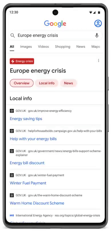
Europe is gearing up for a challenging winter - with rising prices and pressures on the European grid, driven by Russia’s illegal war in Ukraine, further driving the need for secure, reliable, sustainable and affordable energy sources.
We know that energy security and affordability are top of mind for many across Europe right now. People are turning to Google to ask questions about conserving energy and managing their costs. In the UK, a year ago just one in ten searches on the topic of energy prices was a ‘why’, ‘how’ or ‘when’ question - now it’s one in four. In Germany, we’ve seen search interest trending for queries like ‘how to save natural gas’, ‘heating cost’ and how to save energy - while in Belgium, searches for ‘how to save on gas’ are up more than 5,000% since this time last year.
In times of uncertainty, people turn to Google for help and information. As people look for new ways to stay on top of their energy consumption and keep costs manageable, we’re launching a new feature in 29 countries and 22 languages across Europe to enable people to find relevant and actionable information to help them navigate this crisis and save energy.
 These simple steps will help you keep using Google Maps offline when you don’t have an internet connection.
 Try out these Google products to make math a little easier.
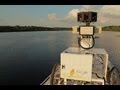
 Check out our all-new, immersive Street View collection of the McLaren Technology Center.
 Use Google Maps, Workspace, Fitbit and Pixel to hit your running goals in 2023.
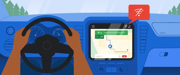
 Announcing the launch of immersive view, updates to Live View, new EV charging tools, and glanceable directions on Maps.
 Make the eco-friendly choice, the easy choice with updates you may have missed this year from Maps, Flights, Search and Pixel.
 The Gorillaz band re-invents the music video and concert going experience using ARCore Geospatial API.
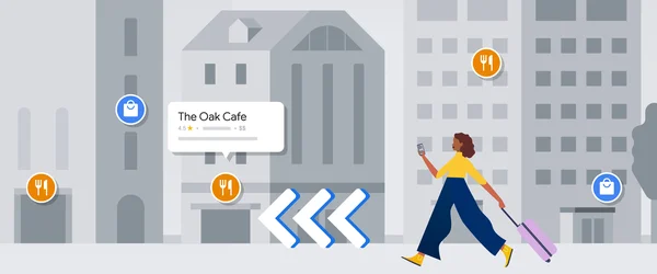
 More intuitive, sustainable, and accessible ways to explore and navigate during the holidays with Google Maps