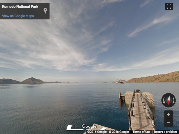
The Indonesian Island of Komodo is home to the world's largest living lizard — the Komodo Dragon. Now you can see these carnivorous reptiles from the comfort (and safety!) of home with the launch of new Street View imagery from the Komodo islands.
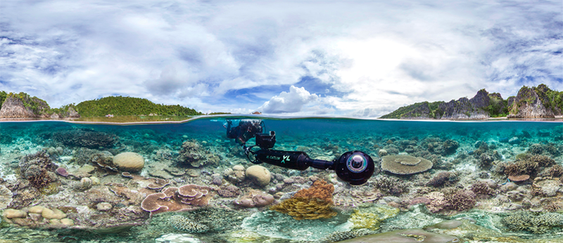
Beyond taking a virtual walk with dragons, you can also explore the rich marine life surrounding Komodo Island, with the launch of 11 new underwater sites from Indonesia, thanks to XL Catlin Seaview Survey and The Ocean Agency.

Image from XL Catlin Seaview Survey
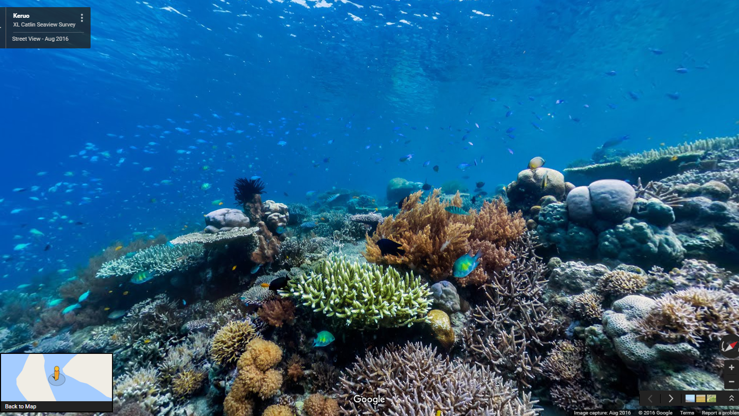
Home to a kaleidoscope of corals and fish, sites like Batu Bolong and Raja Ampat attract scuba divers from around the world. Now you can take a dip with turtles, go swimming with sweetlips, and inspect colorful corals all without having to put on a wetsuit. All you need is Google Maps, to see and appreciate these unique and beautiful sites (available on iOS or Android).
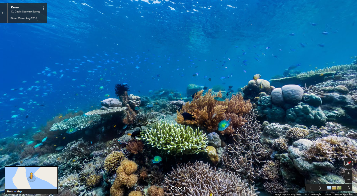
Image from XL Catlin Seaview Survey
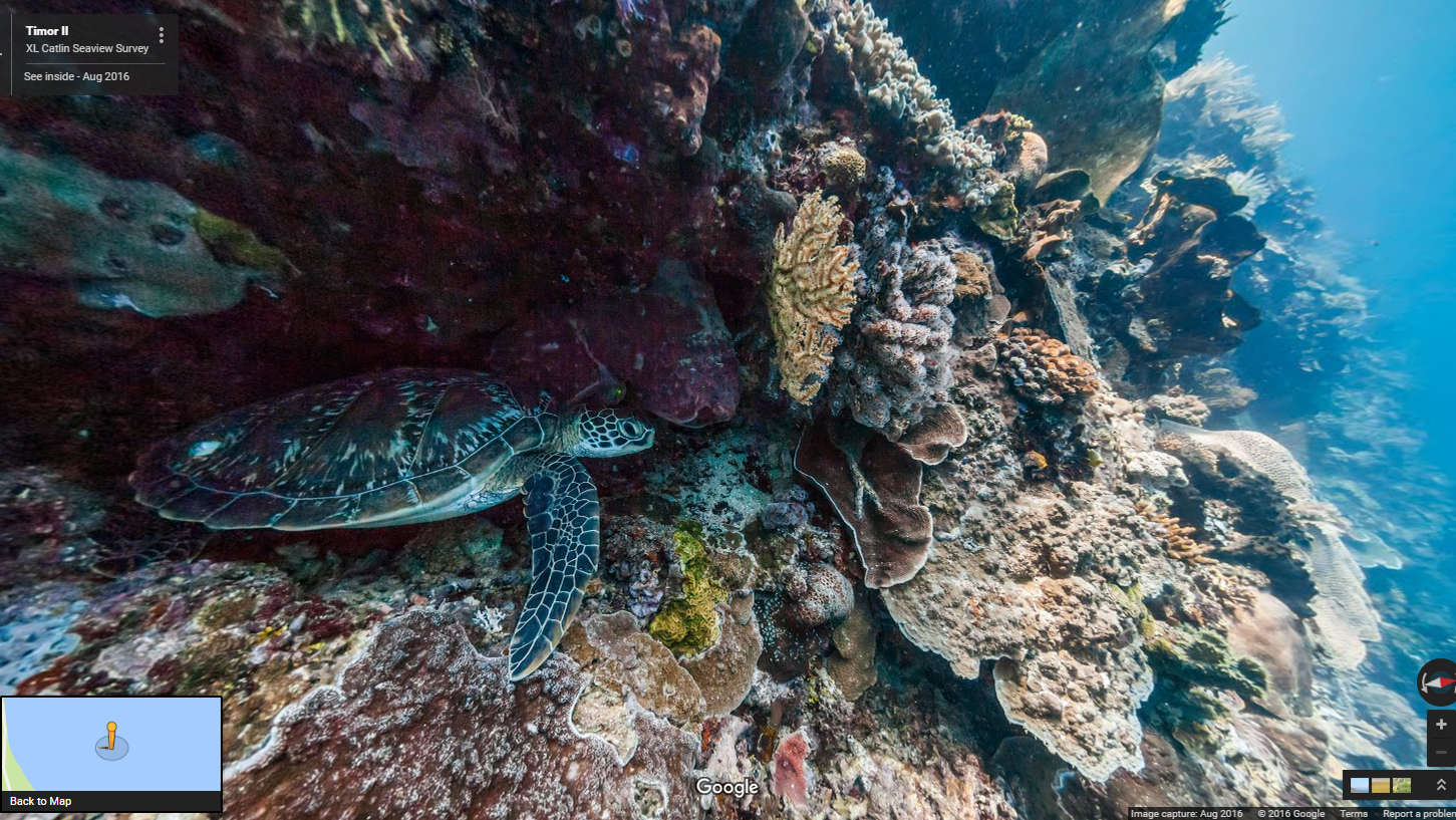
Bunaken National Park in the Coral Triangle is another top destination for aquanauts, as it has some of the highest levels of biodiversity in the world and is home to many reef fish and turtles.
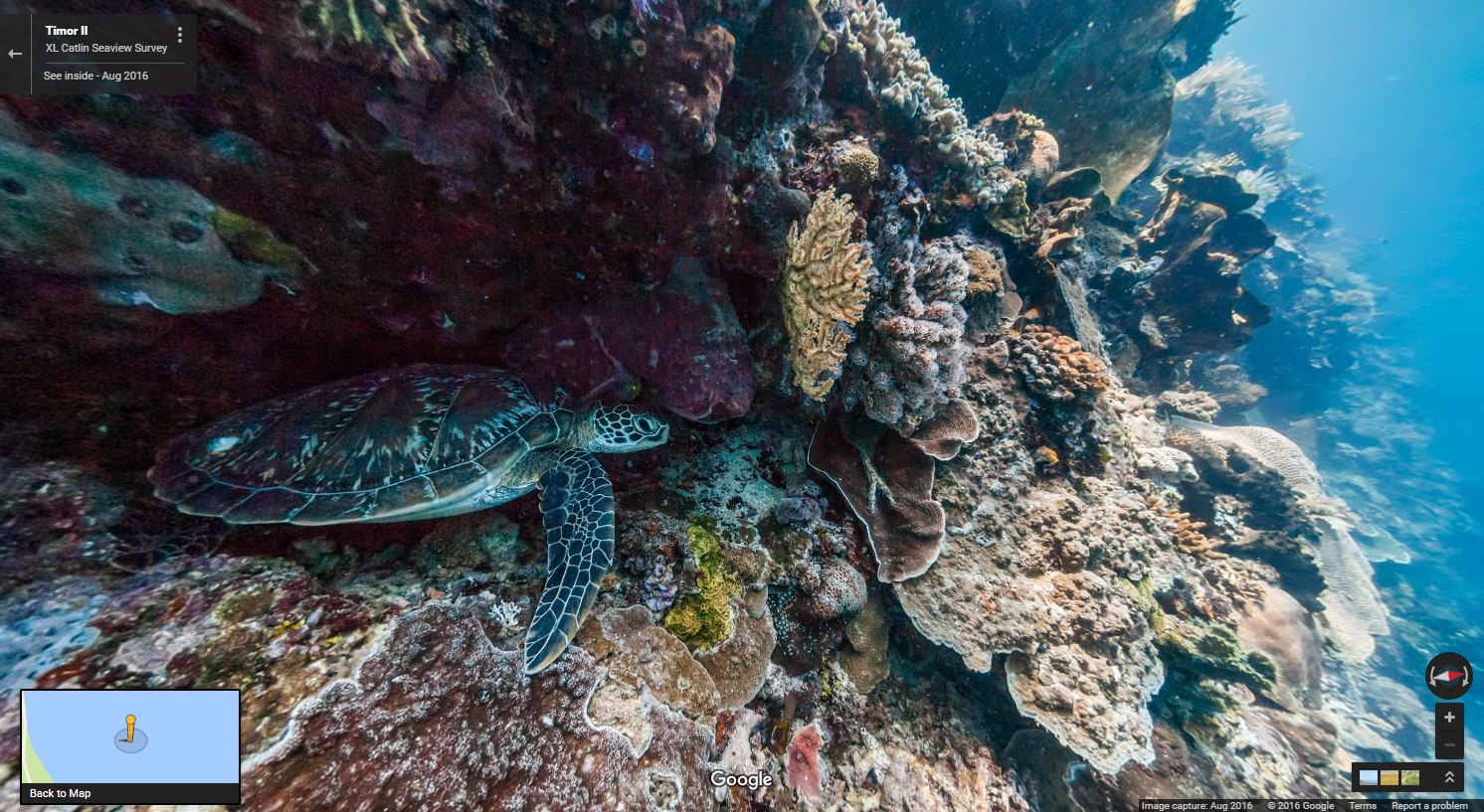
Image from XL Catlin Seaview Survey

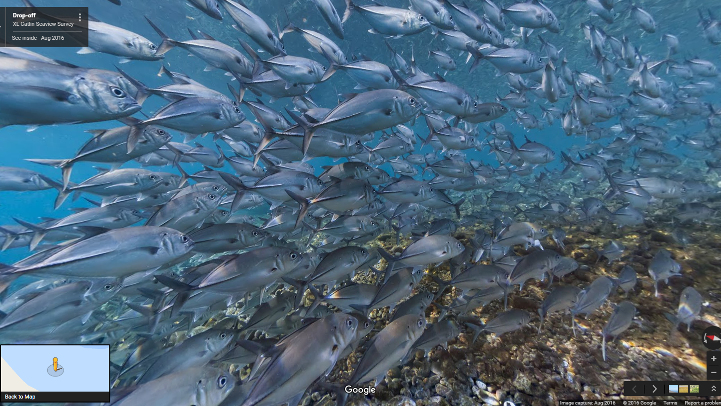
To really get schooled in the marine diversity of Indonesia, head over to the Drop-off in Bali where you’ll encounter Giant Trevally, Big Eye Trevally and Yellowstripe Scad aplenty.
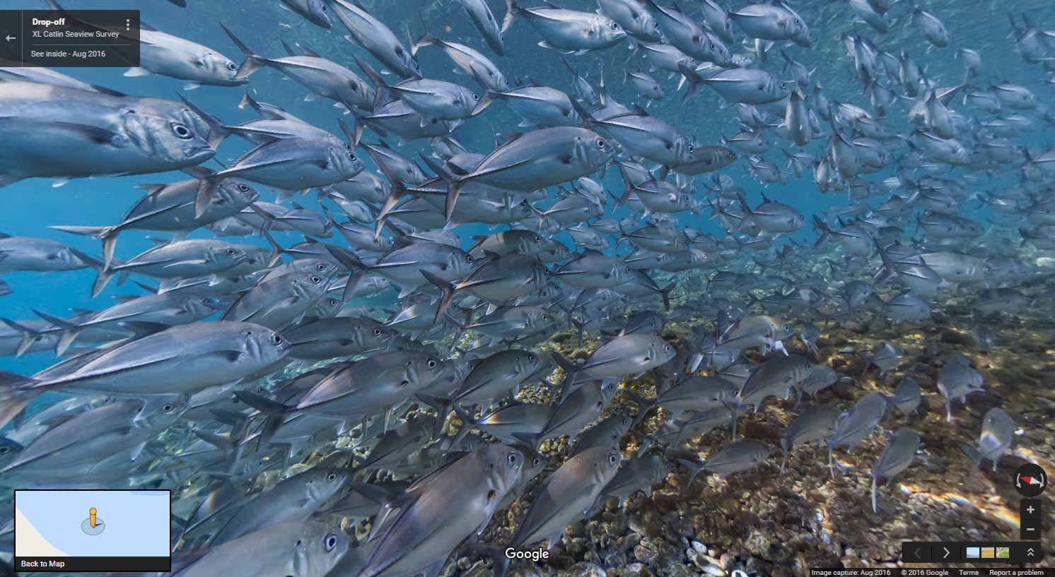
Image from XL Catlin Seaview Survey
To capture all this stunning underwater imagery, the XL Catlin Seaview Survey team use a panoramic camera system, mounted on an underwater scooter piloted by a diver. The crystal clear images are produced by the camera cruising along at around 4kms per hour taking rapid-fire 360 degree pictures every 3 seconds. This imagery is part of a unique global study dedicated to monitoring the change of the ocean’s corals and revealing that change to the world.
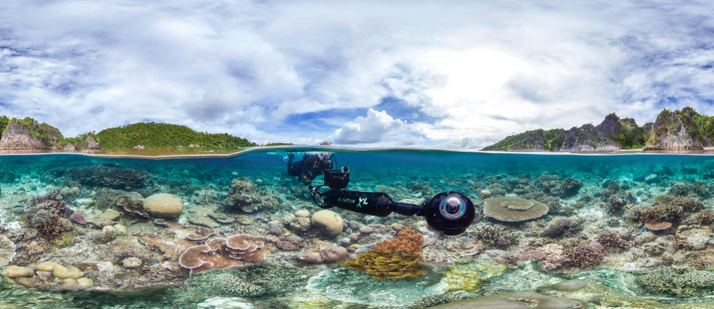
Image from XL Catlin Seaview Survey
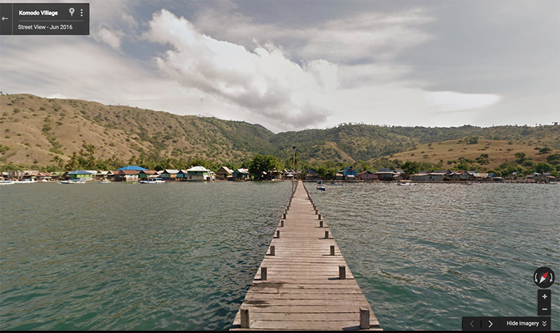
Once you’re finished exploring the sea, come up for some air and take in the sights on land at Komodo village.
We hope you enjoy exploring Indonesia’s stunning natural beauty, above and below the water with Google Street View.
Posted by Cynthia Wei, Google Street View Program Manager, South East Asia.