My Street View journey took me to Tunisia, home to beautiful sun soaked beaches, ancient Roman ruins, and Islamic monuments. And now you can explore Tunisia on Street view too.
The first stop is the Amphitheatre of El Djem, the largest Roman amphitheatre in North Africa, located in the heart of Tunisia. This beautiful monument stands in the midst of a lively and vibrant town—El Djem—-previously known as “Thysdrus,” a prosperous town during the reign of the Roman Empire.
As you walk through the arena, imagine 35,000 cheering spectators gathered in the auditorium to watch gladiators and lions raised and lowered from cells to meet their fate. As the cheering crowd fades, you are brought back to the present, and the crowd’s roars are replaced with sound of birds chirping and leaves rustling in the cornerstone of El Djem.
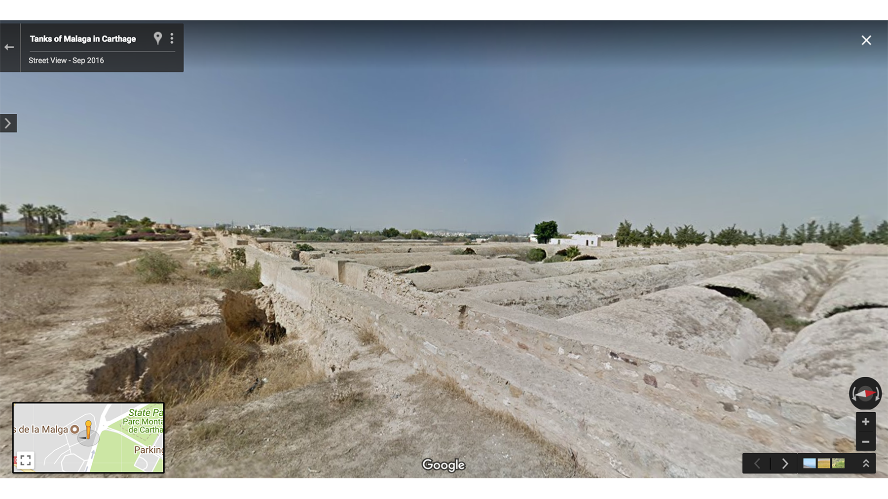
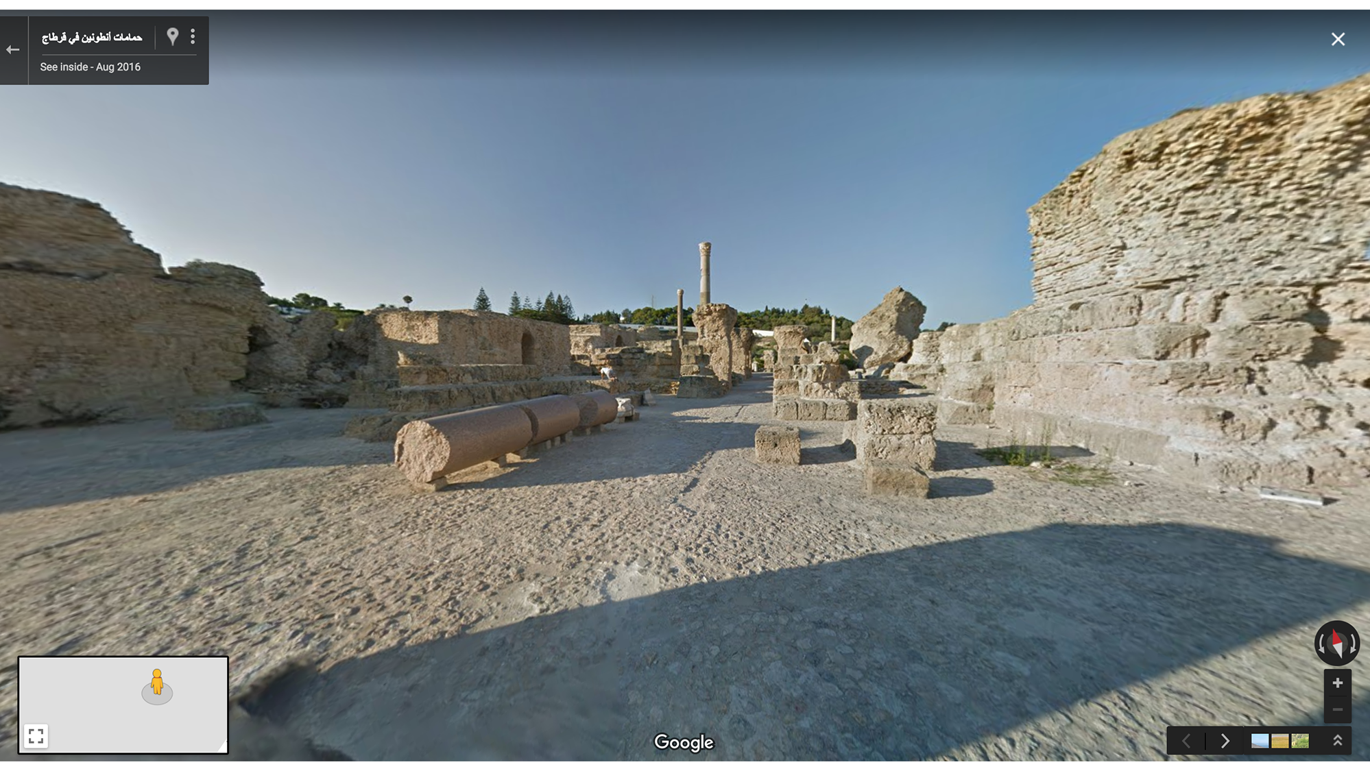
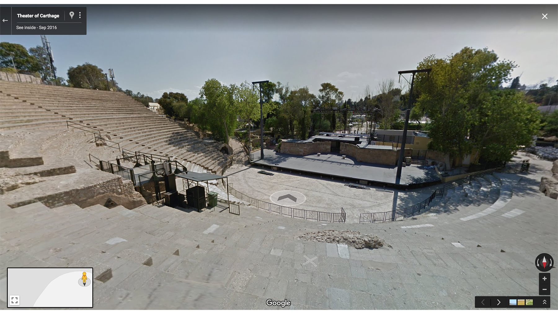
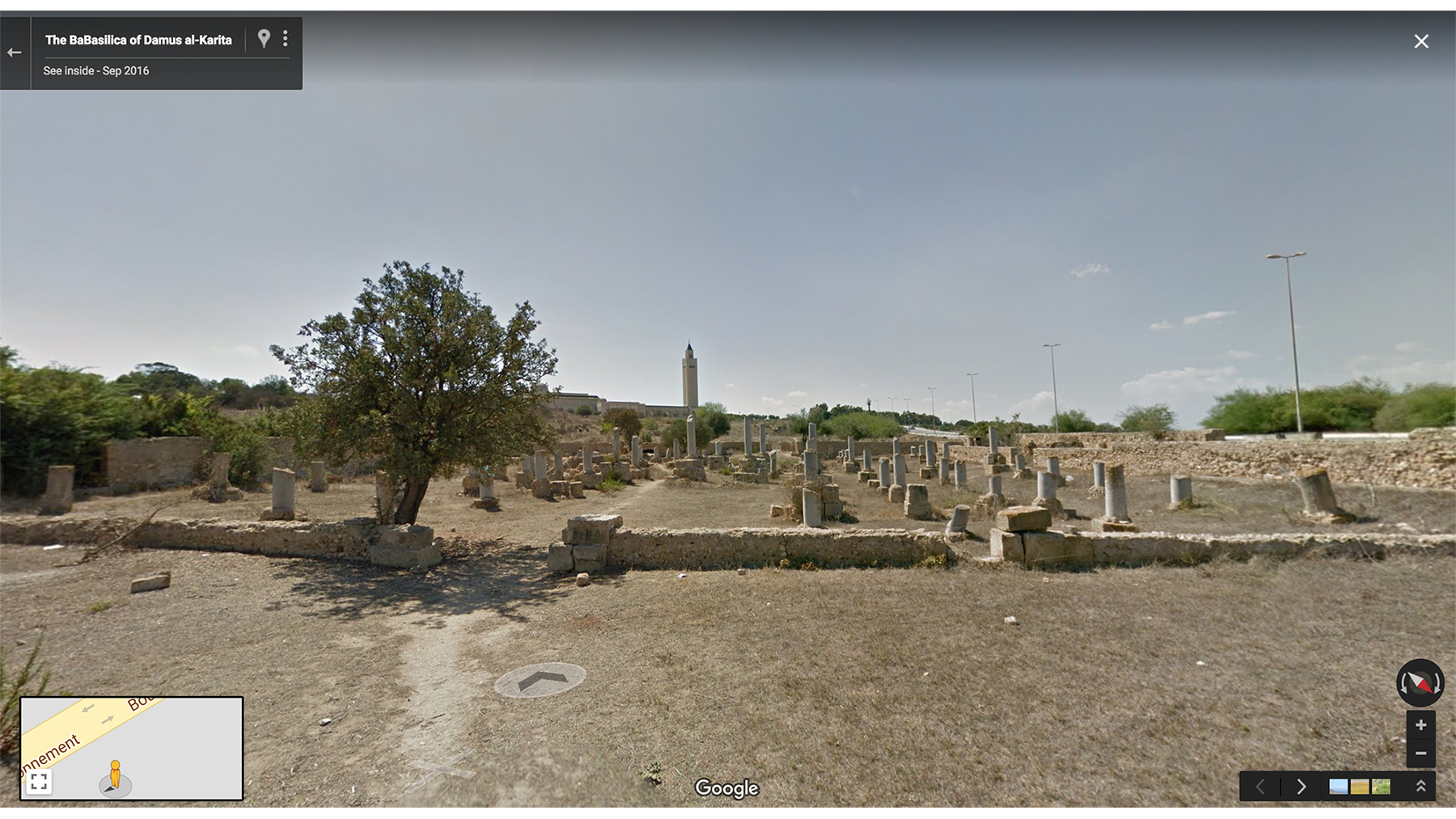
Then I went on to explore the massive city of Carthage, founded in the 9th Century B.C and home to an iconic civilization. It is also the hometown of the famed warrior and military leader, Hannibal, who grew to lead victorious battles. Today, Tunisians regard Carthage and the memory of Hannibal with a strong sense of pride. Use Street View to take a stroll through the Theatre of Carthage, Cisterns of La Malaga, Basilica of Damus al-Karita and the Baths of Antoninus which face the stunning view of the Mediterranean.
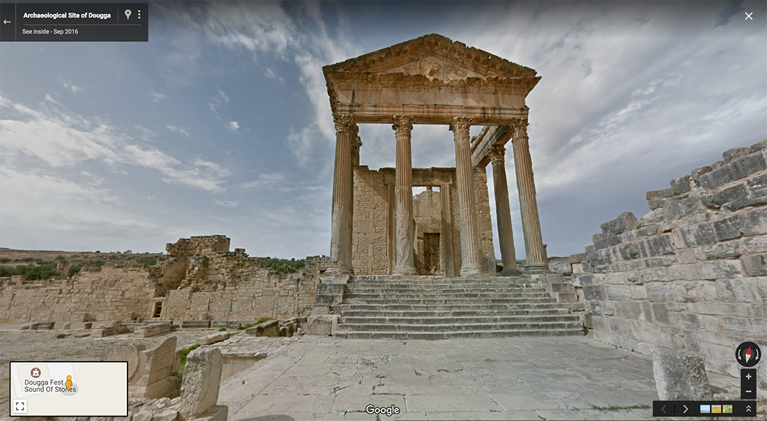
Next we visited Dougga, an ancient Roman Town that was built on a hill and flourished during the Roman and Byzantine times. Take a walk through its beautiful ruins which have been around for more than six centuries, and envision the daily life of people in a typical Roman town. Let the monuments left behind give you a glimpse into the Numidian, Punic, Hellenistic, and Roman cultures. Stroll around the site with Street View and stop to gaze up at The Capitol, a Roman Temple dedicated to Rome’s protective triad; Jupiter, Juno and Minerva.
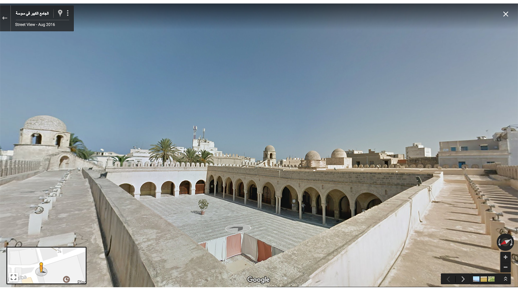
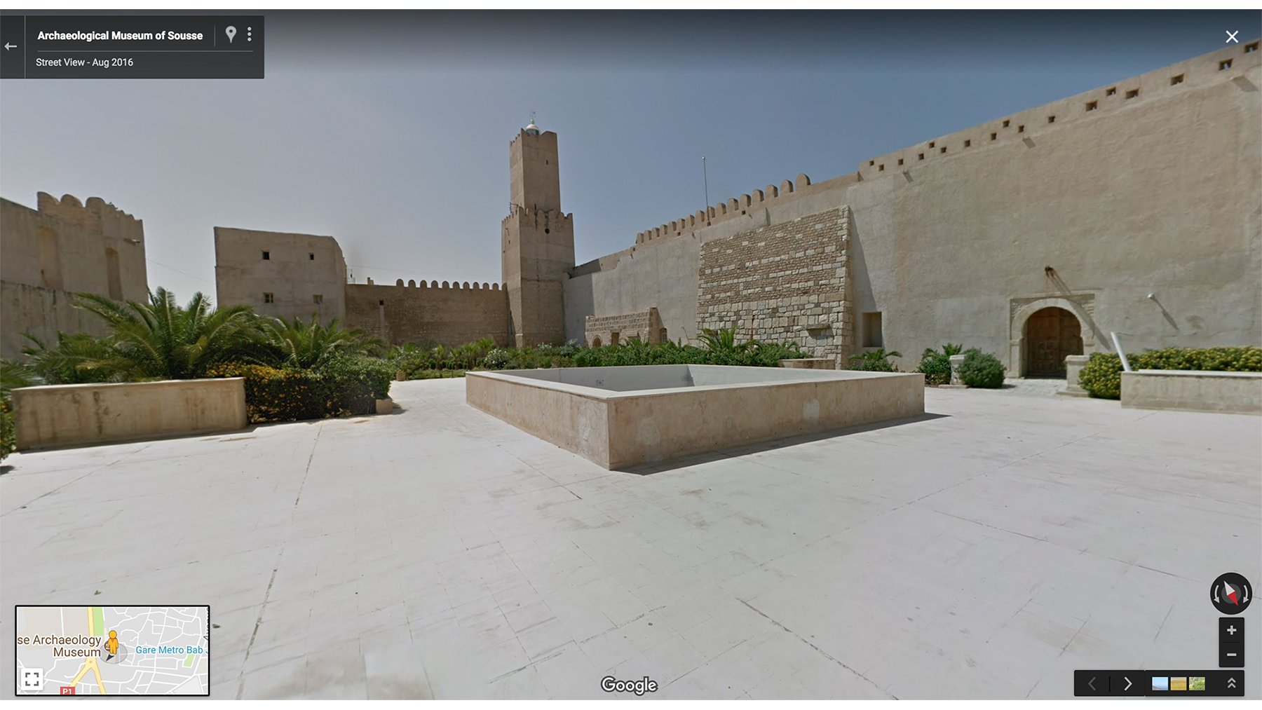
To delve into some of Tunisia’s beautiful Islamic architecture during the early centuries, we stopped by Sousse. This gorgeous city lies on the Tunisian Sahel with monuments to admire such as the Ribat of Sousse as well as the city’s Great Mosque. Take a walk through the vast courtyard of the mosque, the stairs will lead you to the watchtowers where you can enjoy a beautiful view of the mosque and its surroundings.

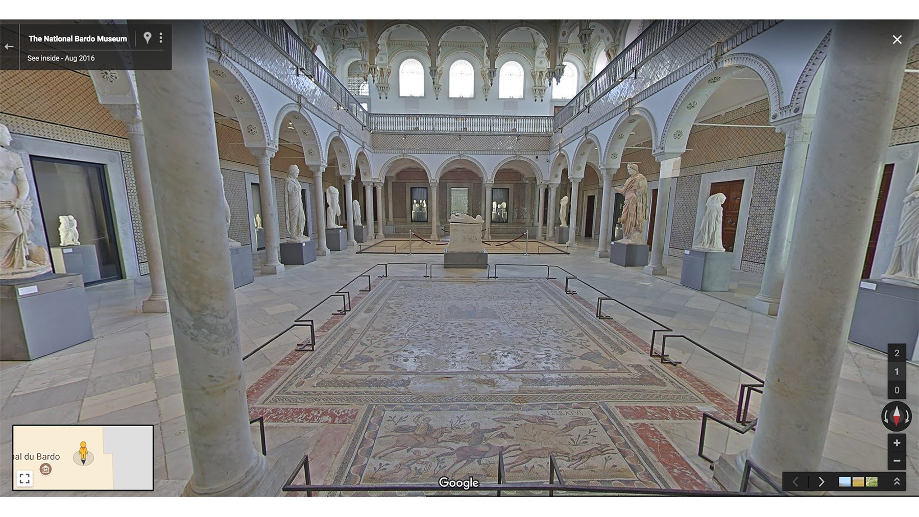
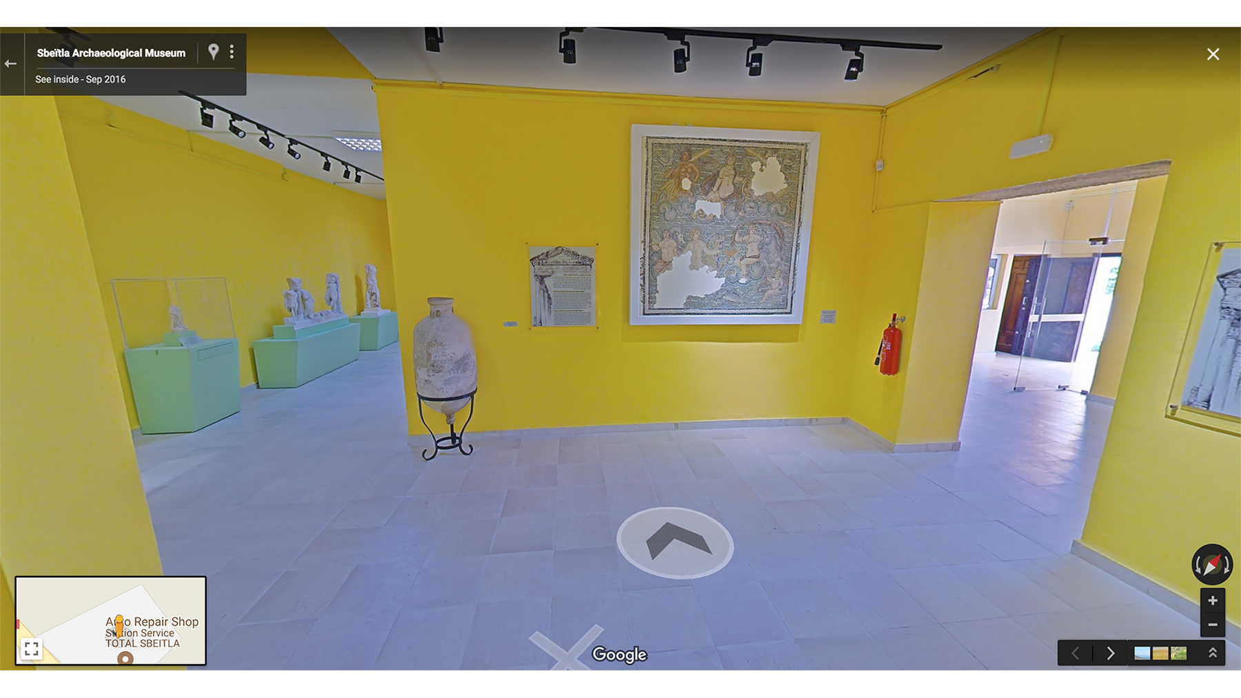
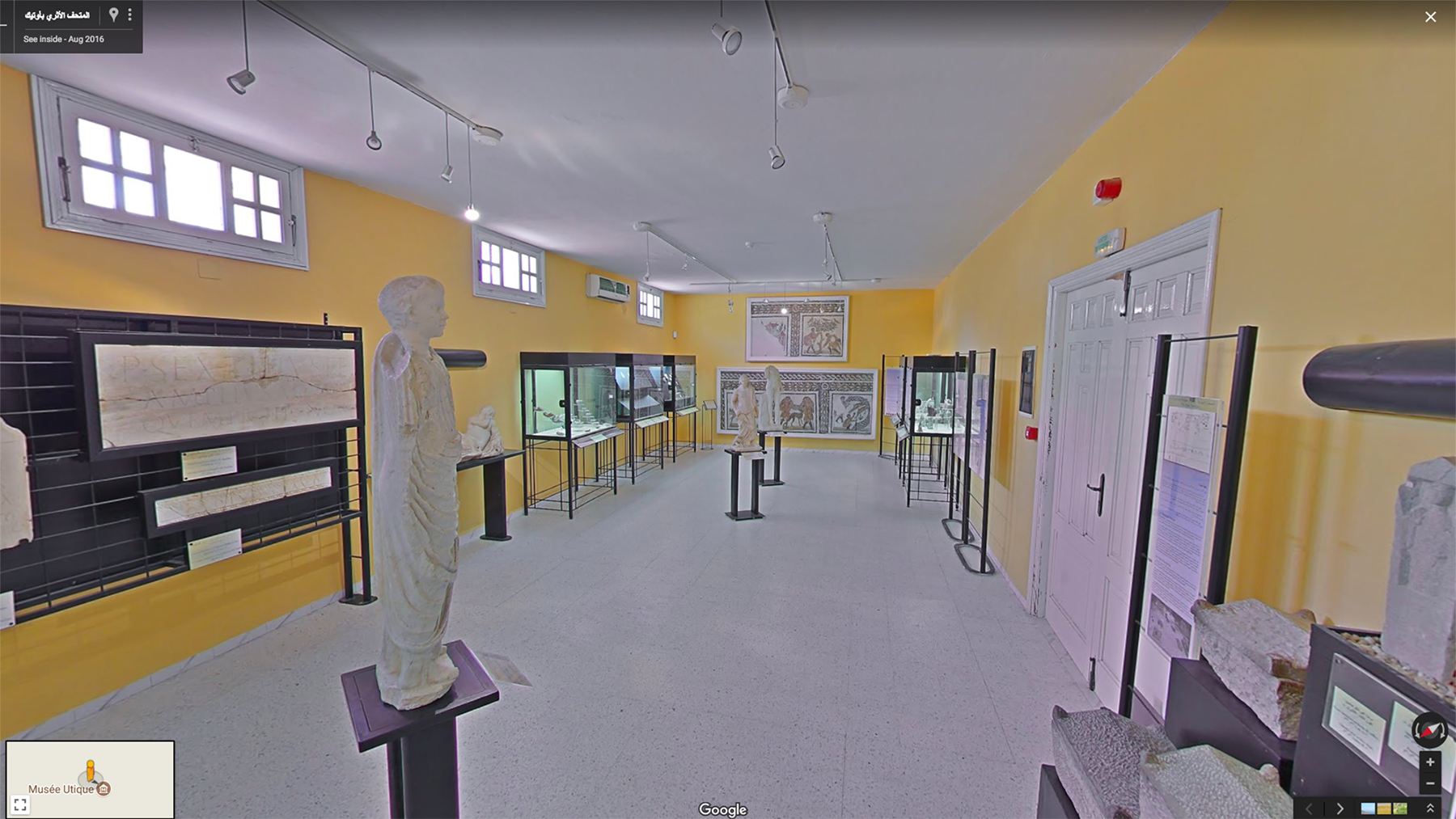
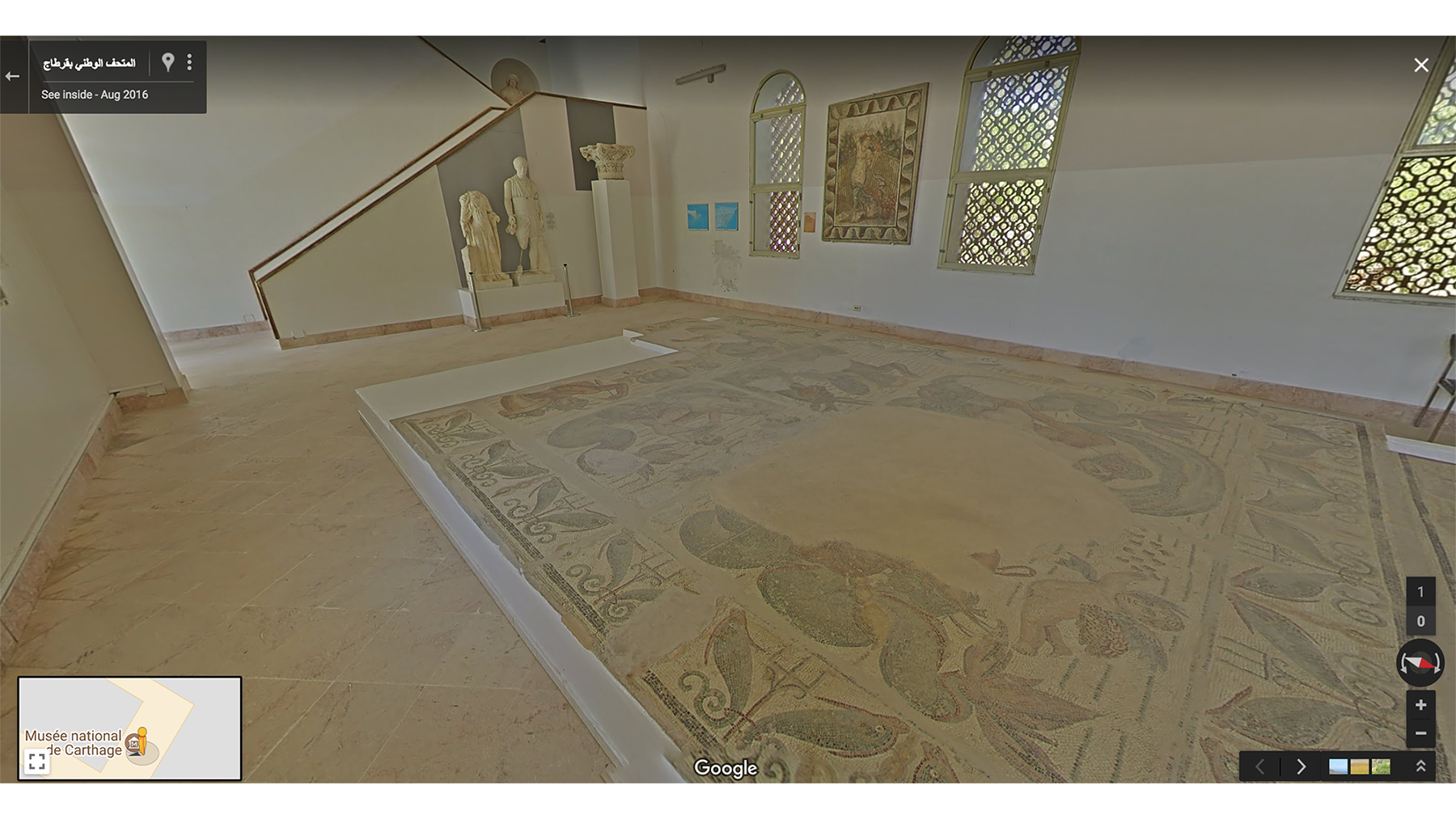
Finally, my favorite part of the journey was going to the different Museums spread across Tunisia. Some of these include The National Bardo Museum, Sbeïtla Archaeological Museum, Utique Museum and The National Museum of Carthage. The rich collection of artifacts displayed tell their own stories, especially the beautiful collection of Roman Mosaics in The Bardo. Make sure to take a tour of your own.
We hope that we have inspired you to take a moment to step into the wonder that is Tunisia. For more highlights from Tunisia Street View collection, visit Tunisia Highlights