More than 65 million people worldwide need wheelchairs. I became one of them after an accident eight years ago, and I discovered what it’s like to navigate the world on wheels.
As I learned, those of us with mobility issues need information about places before we arrive. Does the art museum have a stair-free entrance? What about the cafe across the street? And is there an accessible restroom at that new restaurant?
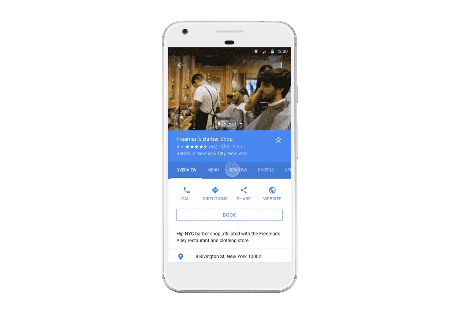
Google Maps now offers answers that allow me—and millions of others on wheels—to find accessible places. Because anyone can identify and label wheelchair-friendly locations directly on the map, it’s easy to share this knowledge around the world. But not everyone knows this tool exists, so we want to do more.
Starting today, we’re calling on Local Guides, a community of people who contribute their expertise about places on Google Maps, to add more wheelchair accessibility attributes to the map. If each of our tens of millions of Local Guides answers three of these questions every day for two weeks, we can gather nearly two billion answers to help people who rely on this information every day.And wheelchair users aren’t the only ones who will benefit. You'll also be making life easier for families with strollers, seniors with walkers, or anyone making plans with a friend who has impaired mobility.
It takes seconds to have this type of impact. First, make sure your Google Maps Location History is turned on. Then visit “Your contributions” in the upper-left menu, tap “Answer questions about a place,” and indicate whether businesses you’ve visited are wheelchair-friendly. (If you aren’t sure, take a look at a brief guide to answering accessibility questions.) On Google Maps for Android, you can even seek out places that need this info.
All month, Local Guides across the globe are getting together at meet-ups to answer wheelchair accessibility questions on Google Maps. Join a meet-up, or even host your own (if you’re a Local Guide Level 3 or higher). Or gather some friends and explore a neighborhood, adding info as you go.
We hope you’ll contribute your knowledge to the map to help those of us on wheels more easily navigate the world.
Spread the word using #LocalGuides and #a11y.