Chief Almir and the Surui tribe of the Amazon were among the first Indigenous changemakers to use Google Earth - back in 2007 he wrote to Google with a proposal to use our mapping tools to share his tribe’s story and help combat illegal logging. Google visited Chief Almir’s home in Brazil and held a mapping workshop for his community. Now the public can virtually visit the Surui territory with a map that the Surui people built in Google Earth, see the clearcut logging in their Amazon rainforest and how it impacts their culture and livelihood.
Google is planning its first ever Indigenous Mapping Workshop in Australia on November 7-8, 2018, in partnership with the University of Technology Sydney, Tarruru Pty Ltd, Digital Navigators Ltd. and the Firelight Group. We’re hoping to welcome around 100 mapping practitioners from Aboriginal and Torres Strait Islander communities to Google Sydney. This workshop aims to build the capacity of these communities to use Google mapping tools to map and monitor their lands and tell their stories of connection with the land and water.
 |
| The Ngarluma Ngurra Cultural Map: A Google Earth experience designed to provide an insight into Ngarluma culture and relationship to country. |
 |
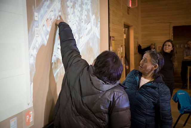
| Elders using satellite imagery to facilitate discussion at a community meeting in Sanikiluaq, NU, Canada. |
Anyone who is interested to attend can learn more and submit an application at g.co/earth/imw-australia.